

Delivering GEOINT AI, advanced analysis, field support, and a comprehensive geospatial toolkit for the warfighter.
Geospatial intelligence plays an essential role in equipping the warfighter to safeguard our nation’s interests — from seabed to space. Without access to the capabilities, tools, and cross-functional expertise to help you enhance your GEOINT analysis and tradecraft, your organization could be at a tactical and strategic disadvantage.
The mission doesn’t wait. Neither should you.
We’re here to help.
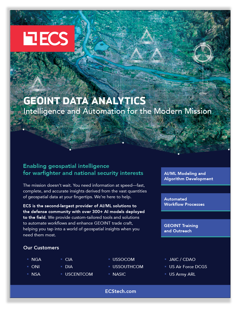
ECS, a leading provider of AI/ML solutions to the Department of Defense (DoD), brings the industry’s best together to:
- Support AI model development, validation, and deployment
- Provide custom-tailored tools and off-the-shelf solutions
- Lend the expertise of our intelligence professionals and engineers
Contact our experts!
ECS has served as the Prime AI Interoperability Integrator (AI3) for the end-to-end NGA Maven Program since September 2017.
GEOINT AI
Innovation, Automation, and Data Analytics
With ECS’ GEOINT AI capabilities, you can see the unseen, automate workflow processes, and uncover insights faster to optimize decision making. With powerful data analytics and actionable insights at your fingertips, you can accelerate AI development and unlock its full potential.
Leverage ECS’ Open Source Intelligence (OSINT) Solutions to power your GEOINT Open-Source Analysis (GOSA) with publicly available information (PAI) and OSINT.
GEOINT Operations
Analysis, Collections, and Foundation
ECS provides remote imaging scientists and data experts to the National Geospatial-Intelligence Agency (NGA), helping transform the collection, creation, and use of classified and open-source intelligence. We support missions across the Intelligence Community (IC), DoD, National System for Geospatial Intelligence (NSG), and commercial GEOINT enterprises.
GEOINT CAPABILITIES
Tailored GOTS Solutions
ECS Joint Warfighter Toolbox (JWT) — a lightweight, web-based solution built from multiple validation tools — can ingest data, invoke AI/ML models to produce detections, and provide many export options, enabling integration into existing workflows.
GEOINT Field Support Operations
Integration and Engineering
ECS’ Field Support Operations (FSO) is comprised of highly experienced intelligence professionals, field service representatives (FSRs), field support engineers (FSEs), and software engineers (SWEs) who ensure AI technologies are seamlessly integrated into your existing workflows, architectures, and legacy technology systems.
Our Customers

NGA

ONI

NSA

CIA

DIA

USCENTCOM

USSOCOM
USSOUTHCOM

NASIC

JAIC

US Air Force – DCGS

US Army – Army Research Laboratory (ARL)
